County Adds Interactive Maps To Website
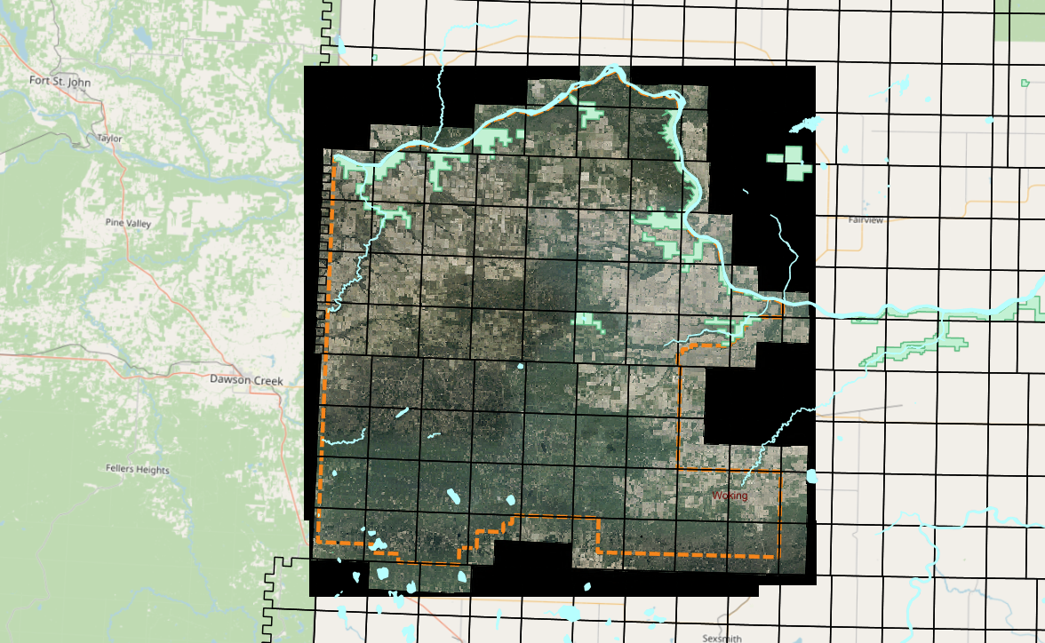
Saddle Hills County has added a new feature to its Maps page on the County website. Beginning May 26, 2022, users of County maps can now take advantage of the new Municite Interactive Map.
You can find the Munisight Map and all other County Maps on our Maps page.
Interactive Mapping
Interactive mapping involves using maps that allow zooming in and out, panning around, identifying specific features, querying underlying data such as by topic or a specific indicator (e.g., socioeconomic status), generating reports and other means of using or visualising select information in the map.
Interactive mapping uses the GIS (Global Information System) to show pinpoint data on a map. Working in a system of layers, the different levels of geographical information are placed on top of each other. Unlike static maps, interactive maps have the advantage of a number of features designed to improve the display of a large amount of complex data.
Some of these features include:
- The ability to create layers of information that can be shown or hidden at the click of a button
- Addition of text boxes to data points that show up when clicked to give a quick summary or description
- Zoom functions that allow users to focus on either the details of a particular region, or to gain a quick overview of a wider area
- Data can be quickly updated, and these updates made transparent to users.
- Points on a map can be linked to external supporting documents, such as images, video, or graphs.
Source: Better Evaluation
Sign up to our Newsletter
Stay up to date on the Saddle Hills activities, events, programs and operations by subscribing to our eNewsletters.